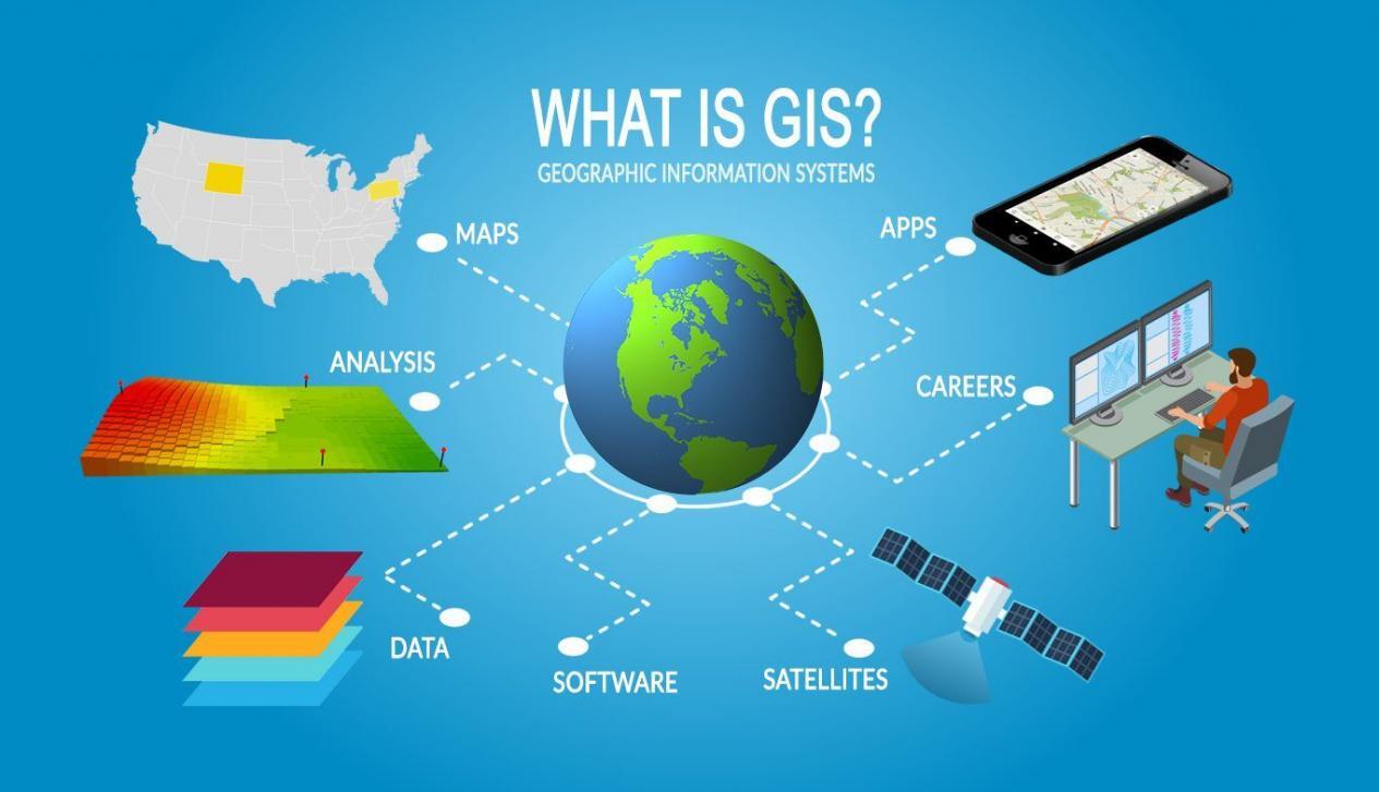
A geographic Information system(GIS) is a computer-based system that attempts to capture, store, manipulate, analyze and display spatially referenced data and attributes associated with it for solving complex research, planning, and management problems. In other words, GIS is an information system that analyzes, stores, and displays both spatial and non-spatial data.
Source: GISGeography
A GIS system helps to better understand the world around us and enables the development of spatial intelligence for logical decision-making. Data in GIS are organized to yield colored maps, statical tables and graphs, and various on-screen activities. GIS is capable of acquiring spatially indexed data from a variety of sources, changing the data into a useful format, storing the data, retrieving and manipulating the data for analysis, and generating the output required by users. In GIS the acquired data are spatially referenced and it is called a layer.
In GIS any selected layer or combination of layers can be depicted on any desired scale. One of the greatest strengths of GIS is the ability to handle a large multi-layered heterogeneous database. To handle multiple layers, all the layers need to have a common reference system. Hence, the accuracy of spatial analysis and validity of decision reached or maps created depends on the quality of spatially referenced information in the database.
Advantages of GIS
Rapid analysis, display of data, and flexibility are the main advantage of GIS.
How is GIS different from Computer Vision?
GIS doesn't hold maps and pictures but holds a database whereas computer vision only produces good graphic output.
Purposes of GIS
- Support decision-making based on spatial data.
- Support Research
- Collect manipulate and use spatial data in database management.
- Produce standardized and customized map.
Uses of GIS
GIS can be used in numerous fields some of them are Land Management, Environment and natural resources management, enforcement law, delivery of social service, and economic and community development strategy development.
Subsystem of GIS
A GIS system must include at least 3 elements
a) Computer Hardware
b) Computer Program
c) Data


If you have any doubts let me know